Project Information
Project Location
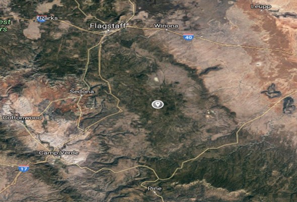
Allak Lake is located approximatley 40 miles south east of Northern Arizona University, and about 10 miles south of Morman Lake on Lake Mary Road. The below image shows where Allan Lake is located, in relation to Flagstaff, Arizona.
Project Description
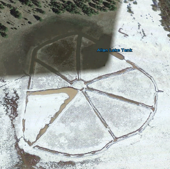
Starting in 1984, Arizona Game and Fish tried to change Allan Lake from a seasonal lake to a more permanant lake that would hold water year round. Using dynamite and bulldozers, AZ Game and Fish created a series of trenches throughout Allan Lake to form a wagon whee shape. Their thinking was that the wagon wheel shape would not only allow water to pool year round, but would also create a series of nesting island for waterfowl. An arial image can be seen below.
The Problem
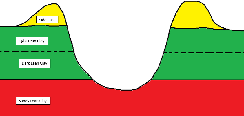
When AZ Game and Fish created these trenches, they inavertanly punctured through the water retaining clay layer and into a sandy bottom layer, which has a much higher hydralic conductivty. This resulted as the trenches functioning as drains, rather than the storage area for water. The below image is a rough illustration of how the trenches act as drains.
Soil Sampling
The below image is the soil sampling map that the capstone team had created to show where the soil samples were collected from. The goal was to collect a sample from each section of pie in a disturbed and and undisturbed section. The red dots indicate where soil bore auger samples were taken, and the blue dot indicates where adittional soil was taken to conducted the nessescary geotechnical analysis.
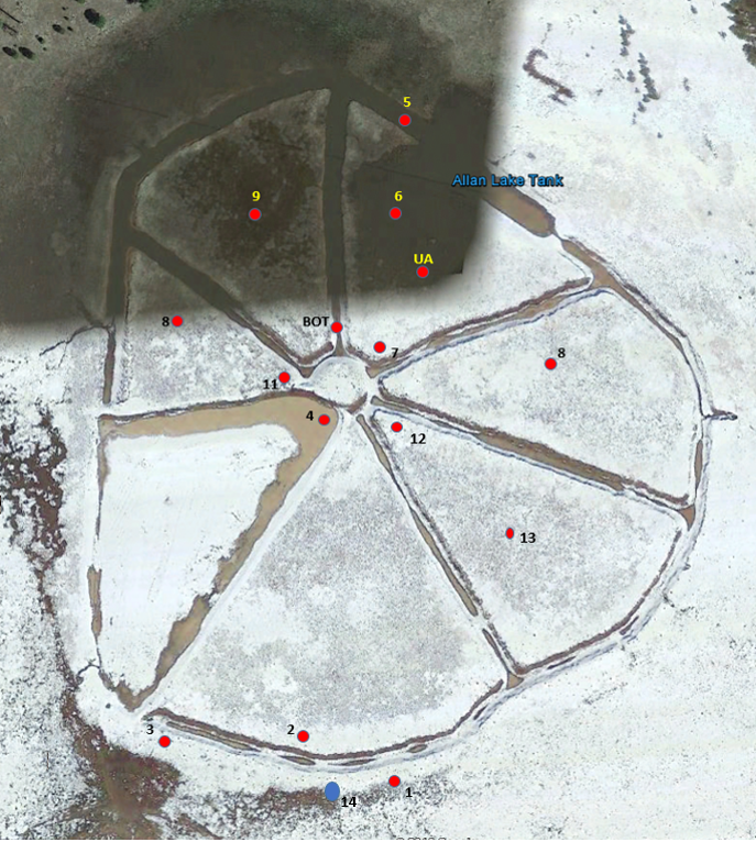
From the soil bore auger holes, soil profile data was created. Note that the area for Allan Lake is about 17 acres so the developed soil profile data is a rough average for the entire site.
Undisturbed Soil Profile Data
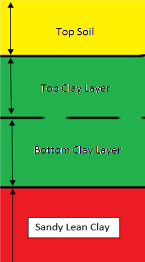
The difference between the top and the bottom clay layer was the color of the two layers. The top layer was a redish color, where as the bottom layer was a darker gray. The differene in color was due to the top layer being exposed to more oxygen.
Disturbed Soil Profile Data
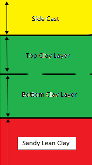
The soil was then analyized using 6 different tests

The trials for each of the test are shown below.
It should be noted that for the hydralic conductivity tests, only one trial was completed for both of the clay layers. This was due to the fact that the equipment and the methods used were only accurate down 10X-7 cm/s. They clay exhibited a hydralic conductivity lower than the limits of the methods. The wet sieve analysis was also modified, due to the difficulties of working with the clay 100 grams of each soil sample was placed into the #200 sieve and then washed out over a bucket using sink water. The remaining soil mass was then measured to give the percent fines used to classify the soil.
The results of this analysis are presented in the table below.
\
Topographic Map
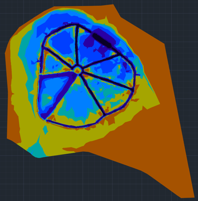
Using Forest Service GIS equipment the capstone team gathered 2,881 points over the entire 17 acre area. This resulted in each member walking about 6 miles for the survey. The below image is a point map from the survey.
From that point map, the group was then able to develop the following topographic map of Allan Lake. This map would then be utilized in the development of the design alternatives for restoration of the lake.
